In my new series “Ultimate Day-Hike Guide within 4 hrs of Los Angeles” I share 5 of my favorite hikes that are … you guessed it, within 4 hours of Los Angeles!
For some of these day-hikes, you’ll have to camp overnight to make the most of it so I will also be sharing campground info, but if you’re looking for alternate accommodations, definitely check out Airbnbs or hotels in the area. Be mindful of COVID-19 recommendations from the CDC.
Whether you live in Southern California or are visiting and want to explore the great outdoors, you’re only a few hours away from some of the most epic hiking trails in California. Many of my favorite California trails are in northern California, but they’re not realistic for weekend trips out of Los Angeles especially if you want to hit a trail that’s at least 6-8 miles long. The goal of this guide is to expose you to beautiful trails you didn’t realize were you in your backyard.
Part 1 – Hiking to Flower Lake in the Eastern Sierras
Onion Valley Trailhead to Flower Lake
The first day-hike in this series is a hike to Flower Lake outside of Independence, California in Inyo County in the Eastern Sierras.
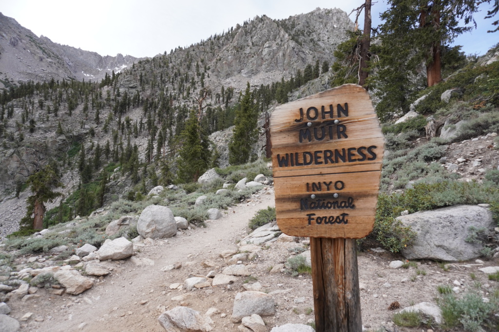
The Onion Valley Trailhead hike to Flower Lake is an alpine adventure that has it all: Access to Mt. Whitney, the Inyo National Forest, the John Muir Wilderness, and the PCT! Wowza. Onion Valley starts at 9,200′ and is surrounded by jagged alpine ridges and several streaming waterfalls around all sides. To say that it’s dreamlike is an understatement. This trail is one of two you can take from what I researched without a wilderness permit from the Onion Valley trailhead. If you do want to wilderness backpack in this area, you can apply for a wilderness permit here.
Elevation: 10,535′
Elevation Gain: 1,335′
Mountain Range: Eastern Sierra Nevada Mountains
Length: 6 miles
Duration: 3 hours
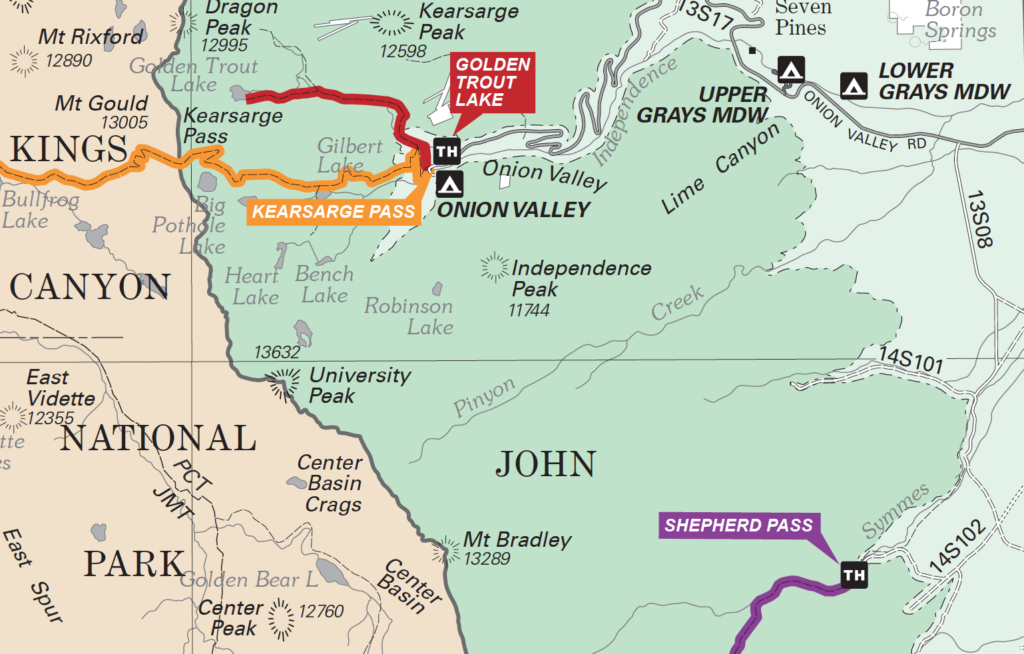
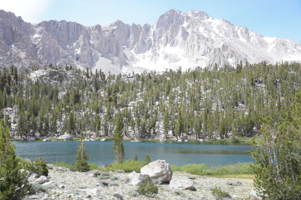
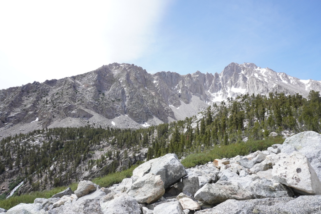
The hike to Flower Lake is a gradual incline of switchbacks and at any view point, you have 360 degrees of epic scenery. This time of year and especially with COVID-19 and people wanting to take advantage of being outdoors, the trail was pretty busy. The traffic was a combination of day hikers and backpackers looking to make their way up to different points: Golden Trout Lake, Kearsarge Pass, Mt. Whitney, or hikers making their way in or out of an epic backpacking trip on either the John Muir Trail or the Pacific Coast Trail. On our way back out we met a guy named Nate who had been on day-55 of the PCT and was headed into town to pick up mail and restock on food. Of course, after chatting a bit, we found out that is also a Humboldt State alum (WOOT WOOT.) So these are the types of people you come across on the trail.
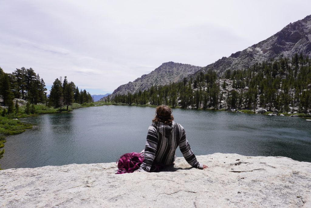
Is the trail to Flower Lake from Onion Valley trailhead difficult? It can be, but the difficulty comes about if you haven’t had a chance to acclimate to the altitude. When we got closer to 10,000′ in elevation I had difficulty breathing and had to take a minute to get myself together before getting to the first lake. I’ve hiked mountains at similar elevations but never experienced altitude sickness before so it was unexpected.
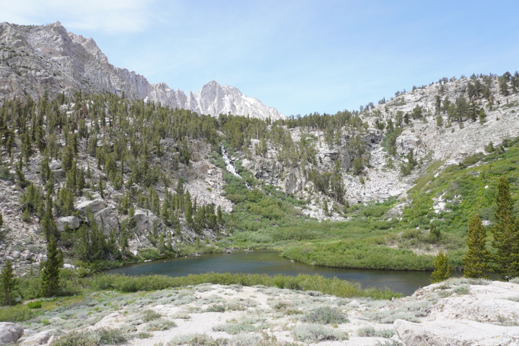
In total, we hiked to three alpine lakes, each below the summit of a young alpine mountain. It’s incredible to know that just on the other side of the ridge before you is the tallest peak in California, Mt. Whitney, which is on my hiking bucket list. The lakes you come cross are Lower Pothole Lake, Gilbert Lake and finally, Flower Lake. Of the three lakes, my favorite one is Gilbert Lake. It reminded me so much of the alpine lakes in Patagonia, Argentina near Bariloche.
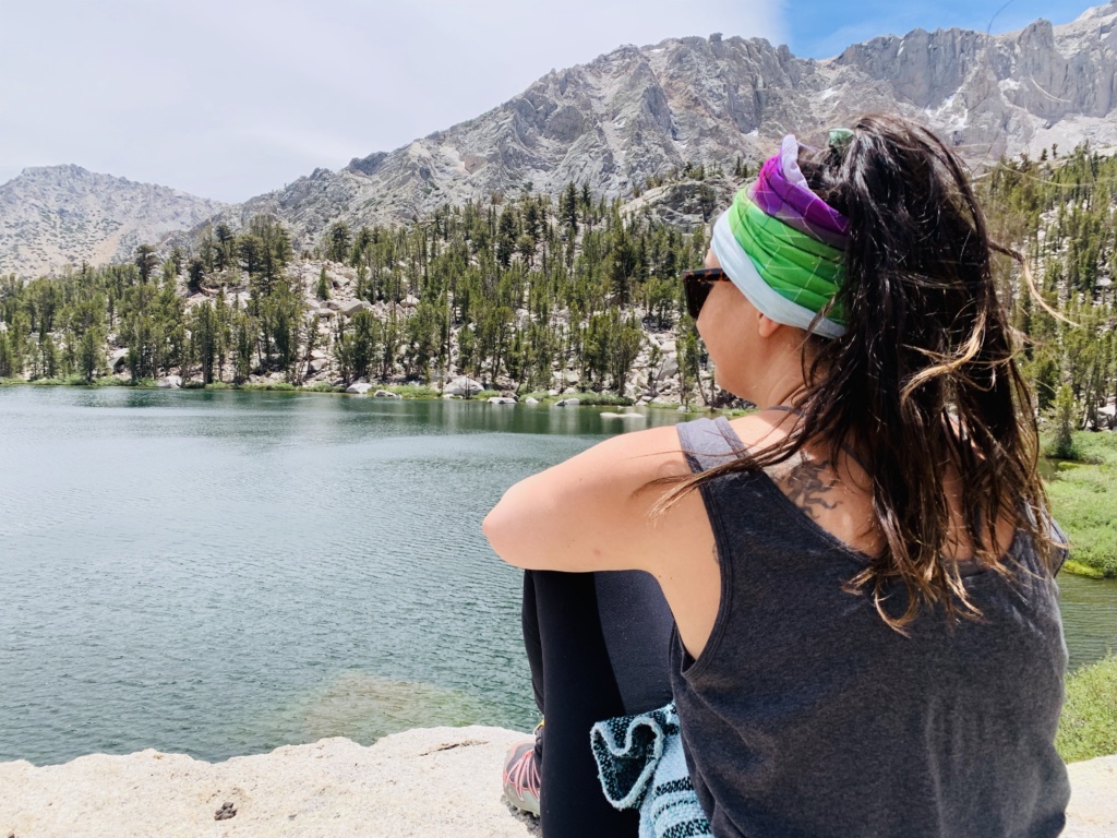
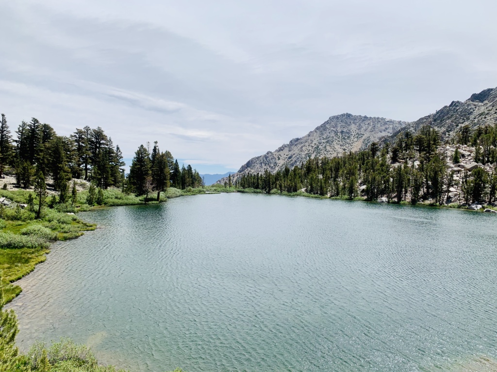
Flower Lake is less than a mile away from Gilbert lake and you can do some fishing here (must have a fishing license), but keep in mind that no campfires are allowed here so no cooking your trout over a cozy fire. Even when you get into the wilderness zone, campfires are prohibited, but you can use a portable camping stove with a fire permit, which is easy to get online – note: you must have it printed out.
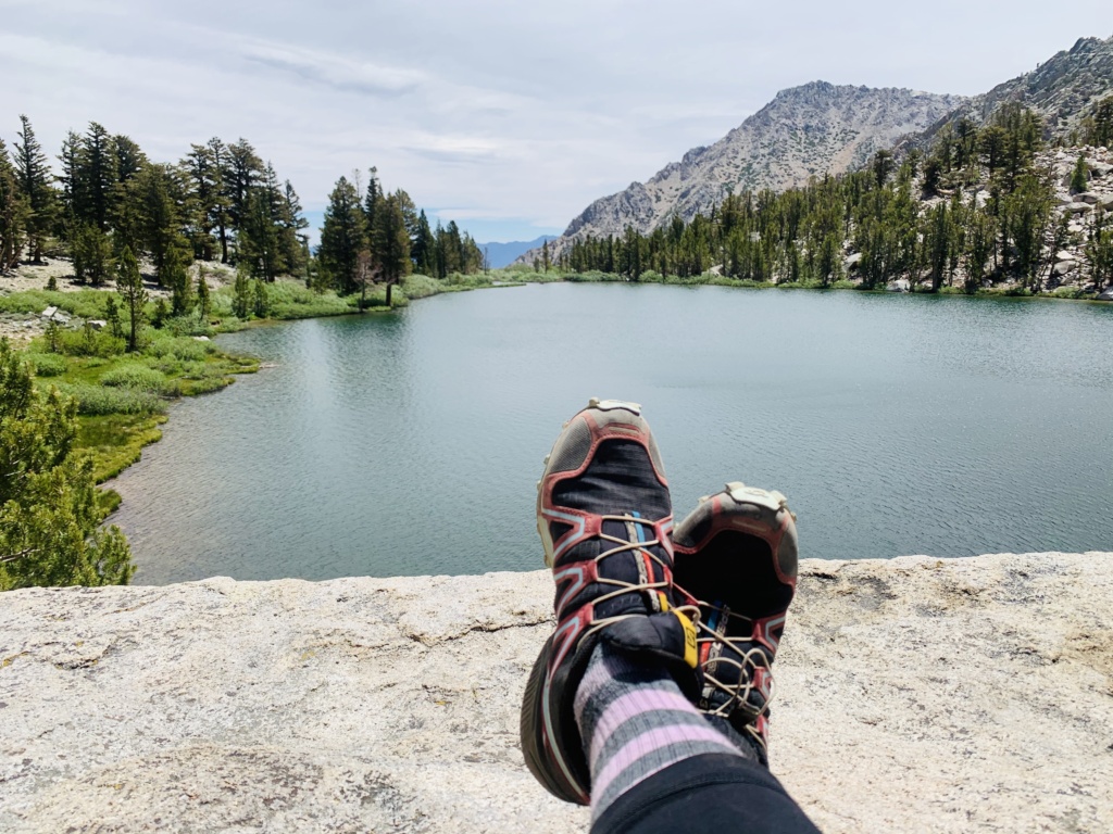
After doing some exploring around Flower Lake, I recommend making your way back down to Gilbert Lake, perch upon a rock, have some lunch and take a nap. This was the highlight of the hike so really, I like to call this my “hike to Gilbert Lake.” The photos will speak for themself, but still, photos don’t reveal the true magnitude of this beauty that is less than a 4-hour drive from my driveway in Los Angeles.
Going back down to the Onion Valley trailhead is easier since it’s completely downhill. but it is a long way down, about 1,335′ down. I recommend trekking poles if your knees tend to get agitated.
Where to Camp When Hiking from Onion Valley
While Onion Valley Trailhead is not difficult to get in or out of by car, I recommend getting an early headstart on this trail to avoid a major crowd and bad weather conditions. We camped at a BLM site just below Onion Valley which is great because there are endless campsites, but there are a few negative factors: little to no shade (mostly no shade), no access to restrooms and the road is a little rugged.
There are campsites at Onion Valley but you’ll have to book out in advance for a weekend reservation (weekend warriors understand). We were able to snag a spot for a future trip that I’m looking forward to that’s right outside the trailhead.
Campground reservations are $20/night and can be made, here.
How do BLM campgrounds work?
In short, you can camp out on any Bureau of Land and Management area without a reservation and usually for free, but some locations do charge a small fee ($3-$15/day) depending on the location. Previously, I’ve camped on BLM land in Big Bear and Joshua Tree and it’s always good to know where they are if you’re camping on a busy weekend without reservations as a backup plan.
There are different resources to find BLM campsites on BLM.gov but I found our camping spot from https://freecampsites.net/, which gives you precise coordinates to input into your GPS.
Final Wrap-up
What to bring on your hike: Water, water purifier, insect repellent, trekking poles, lunch, snacks, windbreaker with a hoodie, sunglasses.
Experience Level: Somewhat experienced. This hike can take 3-4 hours depending on your pace and fitness level.
When to Hike: Summer is a time for pesky mosquitos to flourish, especially around the lakes and streams which can make the hike feel less enjoyable. If you are covered up and wearing repellent, June/July is a great time to be in the mountains. There is still some snow on the mountains but no need for special equipment. Mid to the end of September is a great time go as well as the foliage begins to turn into fall colors.
Are you preparing for a hike in Argentina or Montenegro? Check out my guides for each country!
If you enjoyed this post, why don’t you follow Adrift Anywhere on Facebook or subscribe to get updates on budgeting tips, travel advice and tips!
So lush!! I’d drive the extra hour afterward for a big ol sandwich at Erick Schat’s Bakery!!