In 2012 on a trip from Lima, Peru to Cartagena, Colombia I had a chance to head on a 4 day/3 night circuit in the Cordillera Blancas. The landscapes of this region of Peru provide some of the most jaw-dropping alpine scenery I have witnessed, and the hike was definitely a highlight of the trip. Let’s just say, I will be back!
After spending a couple of days wandering around the bustling Andean city of Huaraz, day hiking to Laguna Churup, and gathering food and gear we were ready to head off for the 4 day Santa Cruz Trek in the Cordillera Blanca Mountain Range.
Day 1: Huaraz – Cashapampa – Llamacorral (3700m)
Day 2: Llamacorral – Jatuncocha – Taullipampa (4250m)
Day 3: Taullipampa – Punta Unión pass (4750m) – Paria (3850m)
Day 4: Paria – Vaqueria – Llanganuco – Huaraz
And it’s snowing
Early the next morning we were surprised to wake up to a dusting of snow, but luckily after staying warm in our sleeping bags for a few hours longer, the sun broke through. Of course we were the only hikers left when we rolled out of bed–all the other hikers trudged through the thick layers of clouds while we waited it out.
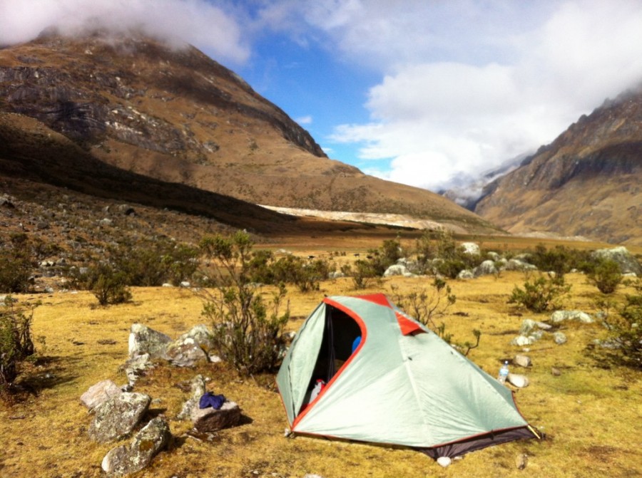
Our campsite at Taullipampa was just at the base of Punta Unión pass (4750m), so when we left camp we took the trail headed straight up. Even though we had eaten half of our food, our packs didn’t feel any lighter hiking at 1447 feet. All I can say is that some of the steeper sections were sloooow going.
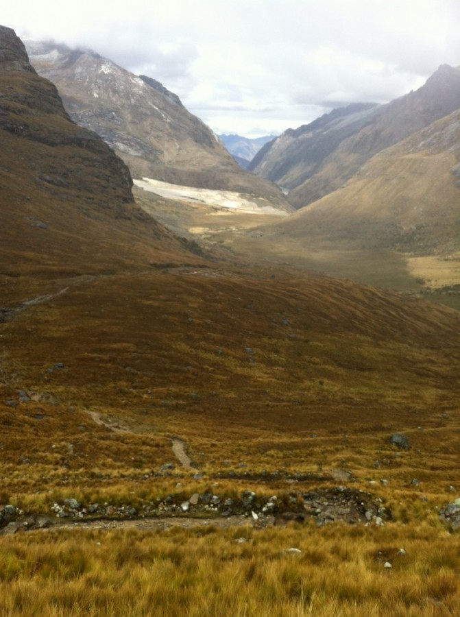
After gaining a bit of elevation, we could see back down the valley where we came from (the white area is the scar from the avalanche a couple years ago).
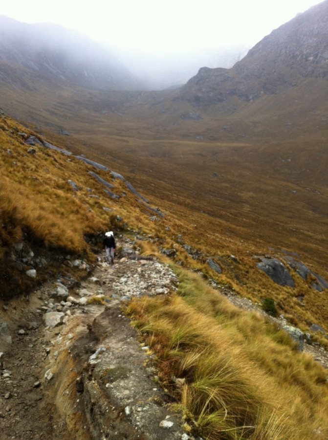
One thing about hiking the Santa Cruz Trail is that you don’t have to worry about getting lost, the trail is well-worn.
Ahead of us on the trail was the guy that sets up and breaks down the camp for tour groups. He waited for the group to leave and then packed everything up on the mules.
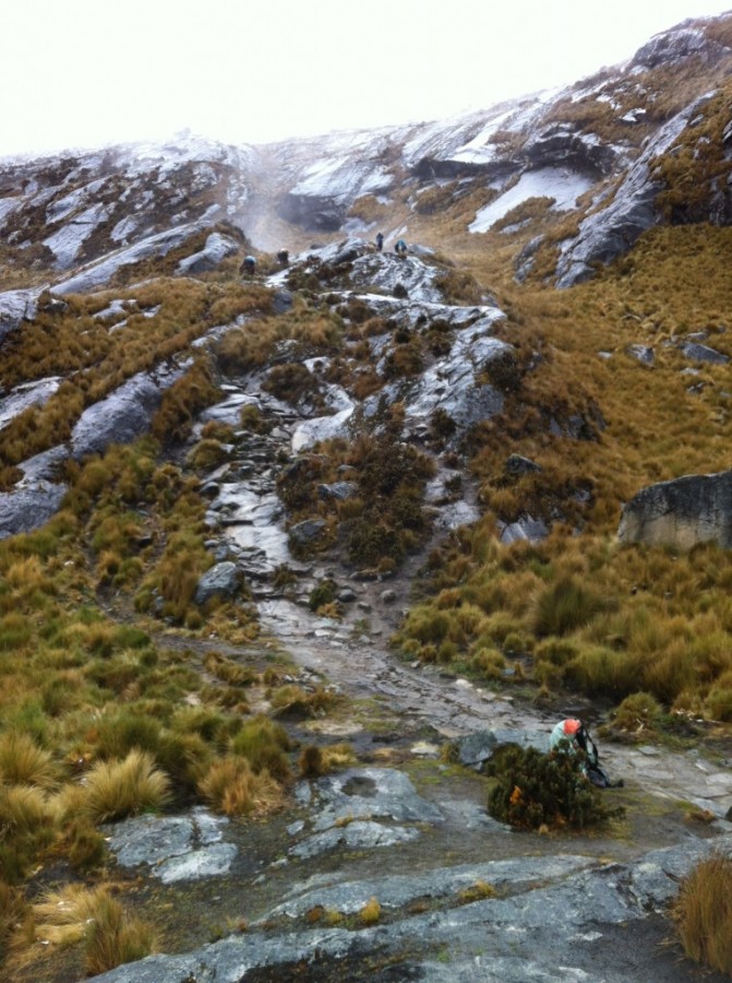
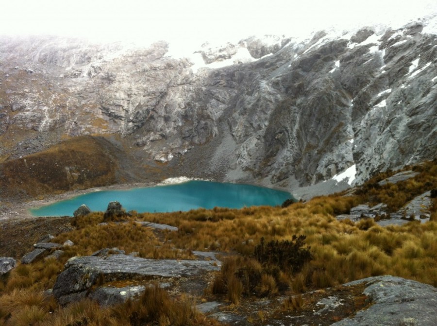
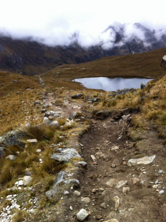
Working our way up the slope we were a little disappointed that we couldn’t see the peaks towering above us, but the lakes below gave us great views.
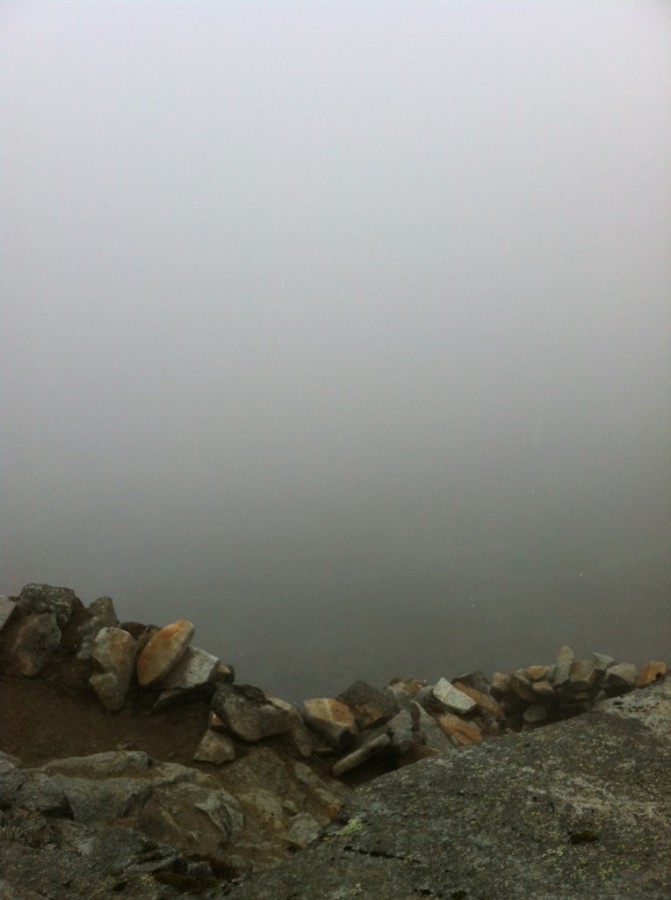
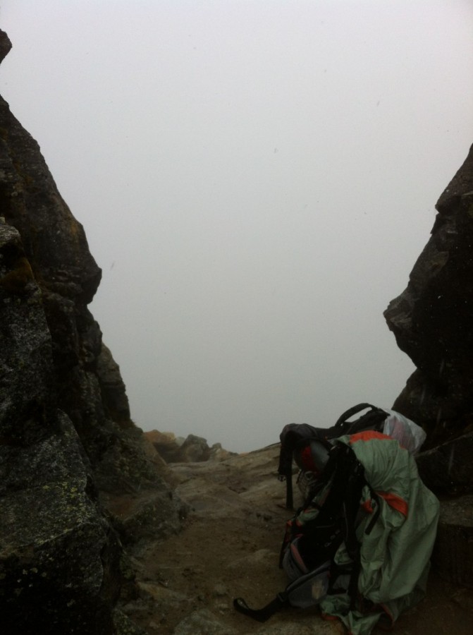
And at the summit of Punta Unión pass (4750m) we were welcomed with a wall of fog on the other side. This was our view.
How’s that for a view?
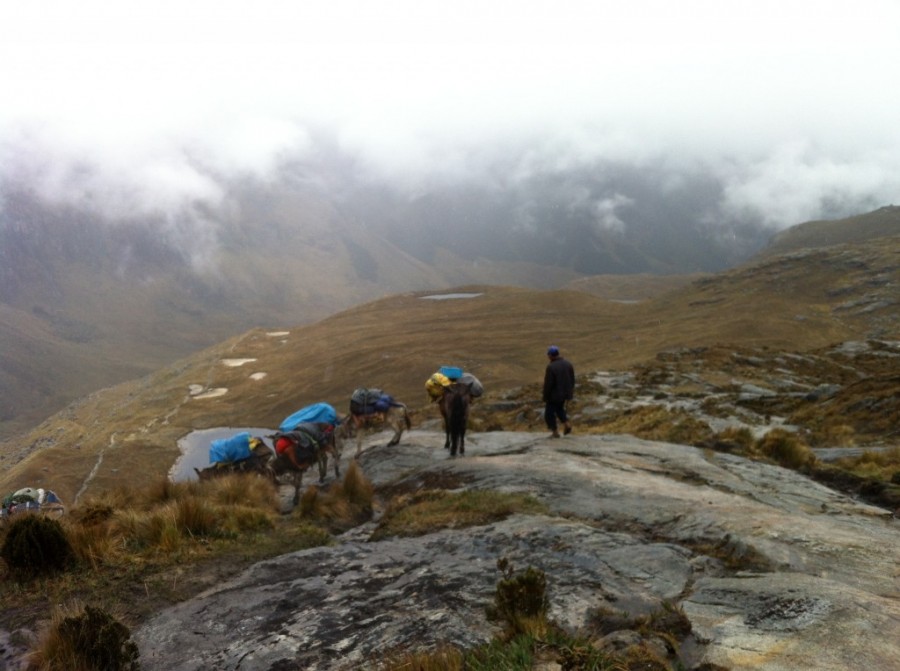
At this point we had caught up to the mule train ahead of us and attempted to skirt around them while fearing that they would slip on the rocks. Later we had a conversation with a guide about the mules being used and he mentioned that if they fall and break a leg the only thing to do is leave them behind.
This side of the valley provided a very different scenery and looked as though it receives considerably more rain. On the descent down to the valley floor we passed by numerous small lakes and streams.
After reaching the bottom of the valley it began to rain so we alternated between hiking and running in hopes of making it all the way to Vaqueria. After talking to a few people on the trail we realized this was not happening as it was still 4-6 hours away. So, our best bet was to get down to Paria (3850m) and stay for the night.
At this point we were just battling the rain, and trying to make it to camp as soon as we could. When we arrived at Paria we were less than impressed when we found a rain soaked grass meadow, but we did manage to find one high point to put up our tent.
Luckily the evening had several small breaks in the weather that allowed us to crawl out of the tent and cook up a meal. But the rain soon rolled back in and was fairly unrelenting throughout the night and into the morning.
We awoke to find it still pouring and decided to wait it out a little bit longer, and at some point just decided to make a break for it and hit the trail. The further down the trail we got and after about an hour of rain, the skies began to break, and it actually got warm. It is amazing how much the weather and temperatures can fluctuate within a few hours time in this landscape.
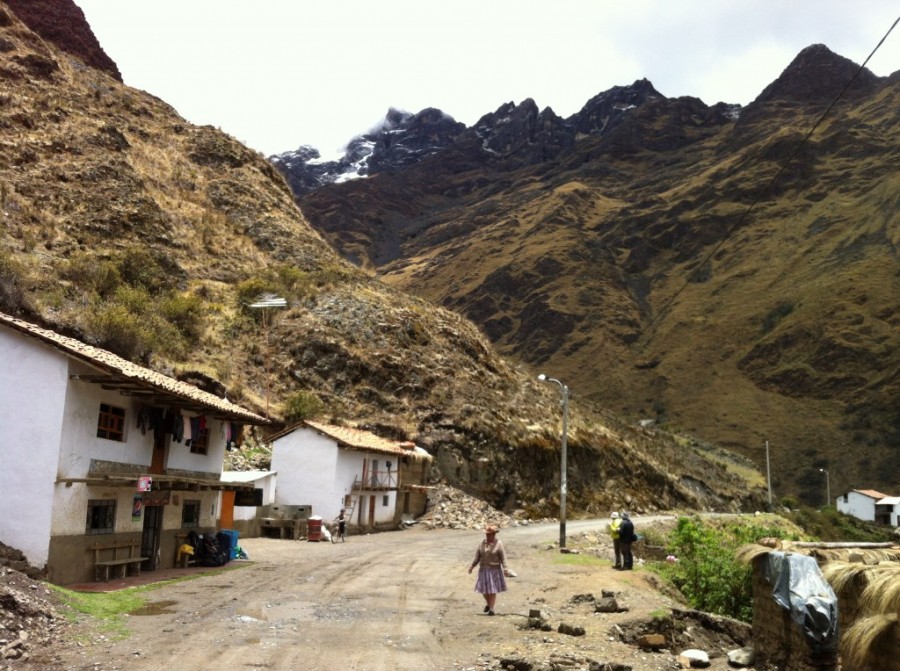
We finally made it to the first small village along the path and continued up the trail to Vaqueria where we were told you can wait for a bus to get back into civilization.
Our bus stop consisted of two small tiendas and both told us that we can catch the bus right in front of their store. We chose one and bought a Coke and some cookies. When the bus arrived it was not a bus, but rather a minivan. The problem was that now there were 8-10 of us waiting to hitch a ride. As we all loaded up, the ‘real’ bus came zooming down the road. Our driver told us that the ‘real’ bus is dangerous and you don’t want to take it (riiiight).
As the driver looked at all the weight we were loading onto his van he realized that maybe he ought to change out a bald tire before the treacherous journey down the winding mountain road. Good timing. He decided to change it while we were all sitting inside the rig. Packed like sardines, we were off!
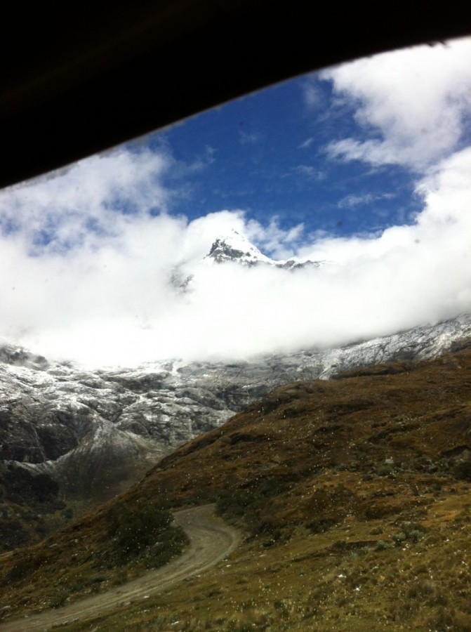
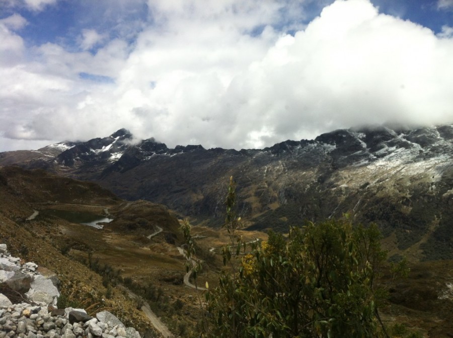
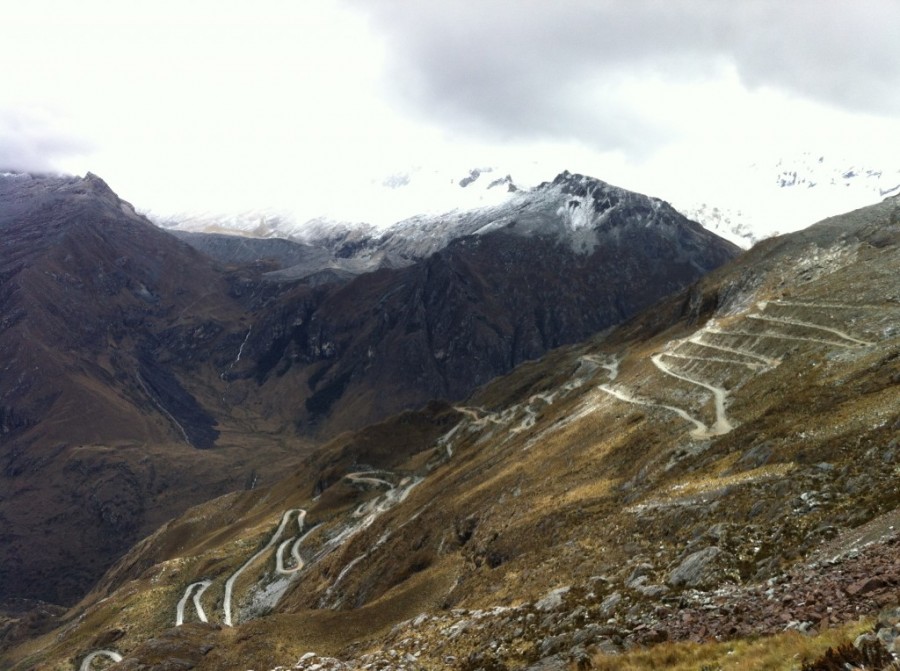
The views on the drive back were no less impressive than the hike.
The road down to the valley below was insanely exposed and consisted of around 20 switchbacks.
After reaching Llanganuco we hopped onto a combi back to Hauaraz to grab our bags from the hostel we were staying at and then headed for the bus station to hit the beach! The next day we were kicking back here:



Hi Susan, great write up. We’re planning on doing this hike and I wondered if we should bring our own freeze dried food, or do that have that for sale?
Hi Inga, thanks for your comment! It is best to bring your own dried food because it can get expensive to buy dried food in the area as it is a popular tourist trek.
Hi Susan,
Thank you for your detailed write up. I have a question regarding the 2nd day of your trip. When returning from the Alpamayo base camp to get to Taullipampa, you mentioned taking a trail that will bring you back to the main route without losing as much elevation. I will be doing this trek next week and would love to go to Alpamayo base camp. The return you mention seems ideal. I can’t find that trail on the topographic map. Would you be able to tell me how to get to that trail. It looks like an in and out on the map.
Thank you
Great write-up.
Curious, what month did you do this trek?